Digital tools fed by satellite images and knowledge of the population make it possible to map an unplanned, insecure neighbourhood, identify the zones at risk and improve security.
The MapKibera initiative was introduced in the neighbourhood of Kibera in Nairobi (Kenya) at the beginning of 2009 to improve the consideration given to the communities by the stakeholders working in underprivileged areas. This is one of the largest unplanned districts of Nairobi, with no maps, addresses or listing of the streets or public facilities.
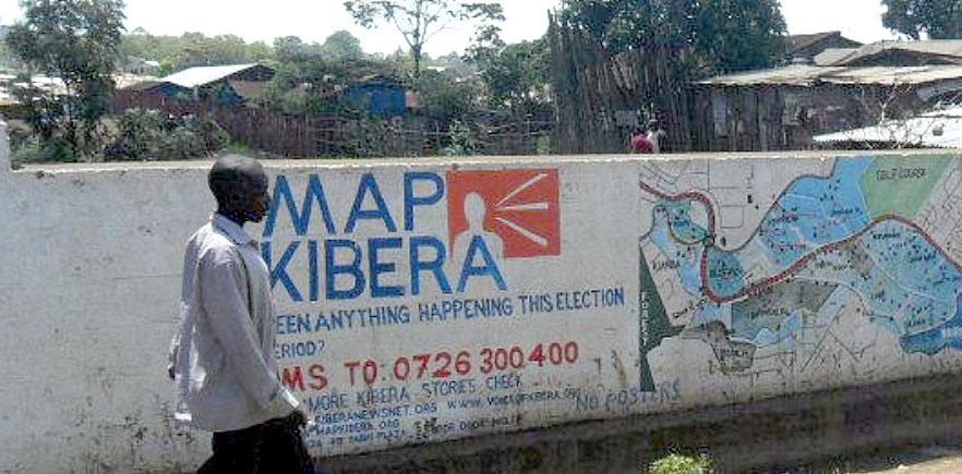
A free, open digital map was created on OpenStreetMap and a community of young Kiberian volunteers, trained by geographers, are in charge of updating it.
The recording and listing of the location of services, markets, schools, clinics, pharmacies, toilets and water taps in the neighbourhood made it possible to create a mapping database. The data was collected by the members of the local communities via GPS equipment and completed by questionnaires to the population. Computer equipment was made available which enabled mapping information to be edited and published online.
The initiative then developed complementary services:
- a map created in partnership with UNICEF showing areas of danger, with no street lights, where rapes had been committed and to create a police station in the location of one of these black spots;
- a blog and place to notify of any problems affecting the community via the WordPress CMS CMS Content Management System, software for the design and dynamic updating of websites or multimedia applications. and the Ushahidi system. During critical events, volunteers and inhabitants can send an SMS to the team to ask for help or to circulate information and feedback their needs.
The initiative has had spin-offs in the Mathare and Mukuru districts in Nairobi.
Lessons learnt
- This initiative was developed under the initiative of NGOs and enabled the collection of information potentially useful for public intervention and the local authority.
- Mapping tools had a real empowerment effect and boosted the self-esteem of the locals.
 CITIIIS: City Investments to Innovate, Integrate and Sustain
 Risk management and early warning system
  Participatory mapping of precarious neighbourhoods
  Dhaka-Innovate: mapping of informal settlements by remote detection
  Open Cities Project: risk mapping
  Hackathon Hack Jozi Challenge
