A map of infrastructure and equipment, a mobile problem alert application and an interactive mapping system to inform the public of the projects in the neighbourhoods.
In 2012, Kathmandu benefited from a partnership between the central government and the Global Facility for Disaster Reduction and Recovery managed by the World Bank, to improve prevention and preparation for seismic risks. The project promotes the use of open data for urban resilience. It can be used to digitize the built environment, the road network and other critical facilities, and establish their vulnerabilities to a contingency to be able to subsequently organise the necessary interventions.
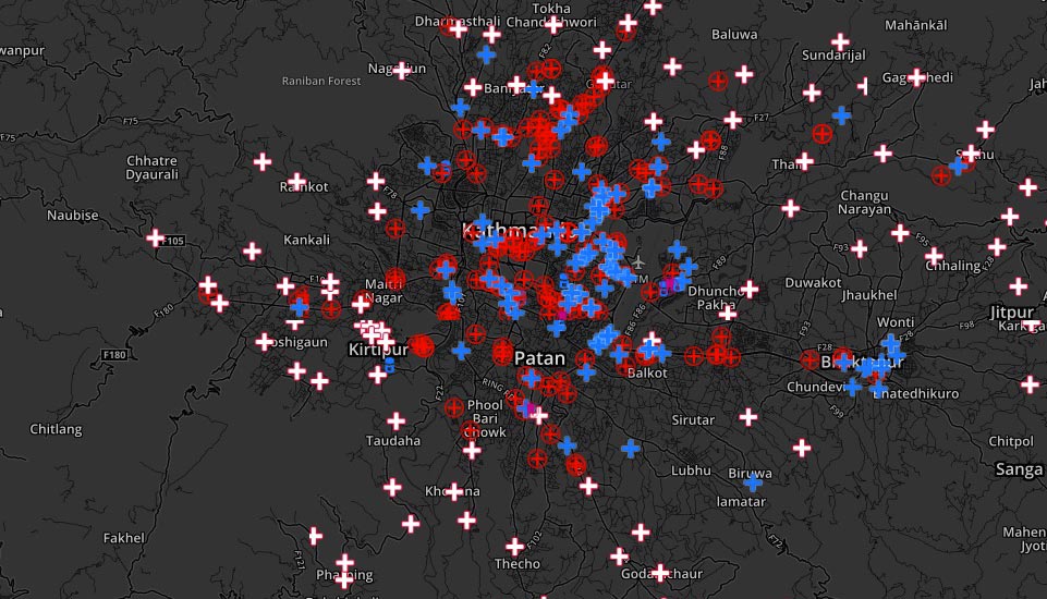
Students and inhabitants have been enrolled to create a map of the valley on OpenStreetMap. The data was collected by setting up crowdsourcing Crowdsourcing Consists in the use of information, creativity, expertise or intelligence of a large number of people through the intermediary of a platform. From an economic approach, it may be a question of distributing a large number of tasks for the lowest cost. From a collaborative, social or altruistic approach, it is a question of making use of the specialist or volunteer networks of the general public to collect or process information. mechanisms and training a local community of volunteers: the first year, more than 2,300 people took part in the training workshops.
Different mechanisms were implemented:
- mapping of infrastructure and facilities (hospitals, schools, evacuation routes);
- mobile application allowing citizens to notify and map urban malfunctions (holes in the road, illegal dumping of waste, etc.);
- interactive mapping system to inform the public of programmes and projects in the neighbourhoods.
During the 2015 earthquake, the team centralised information via an online platform (Quake) to list the needs of affected people and coordinate first aid and humanitarian actions among civil society organisations, volunteer and civil defence groups. Ushahidi (for sending information or SMS by application or the geolocalisation of voice calls) was also mobilised to locate the victims.
A local NGO, Kathmandu Living Labs, was supported to carry out management and maintenance of the system and ensure the training of contributors in the long term.
http://www.opencitiesproject.org/cities/kathmandu/
Lessons learnt
- Free technical tools were used to map the baseline situation and help to improve disaster risk reduction.
- Stakeholders’ coordination facilitated by ICT. The experiment can be reproduced by municipalities which can conduct this type of collaborative project.
 CITIIIS: City Investments to Innovate, Integrate and Sustain
 MapKibera: participatory mapping
 Risk management and early warning system
  Participatory mapping of precarious neighbourhoods
  Dhaka-Innovate: mapping of informal settlements by remote detection
  Hackathon Hack Jozi Challenge
