A predictive model based on a GIS GIS Geographic information system: system designed to gather, store, process, analyse, manage and display all types of spatial and geographic data for planning the building of infrastructure, housing and services (water and sanitation).
At the beginning of the 1990s, Cape Town launched a mapping initiative of its territory to identify vulnerable areas and facilitate decision-making. This was inspired by the “Cost Surface Model” of Durban (South Africa): this model can be used to predict the installation cost of basic services depending on the location of the residential projects, and so inform the decisions regarding the localisation of the development areas for affordable housing.
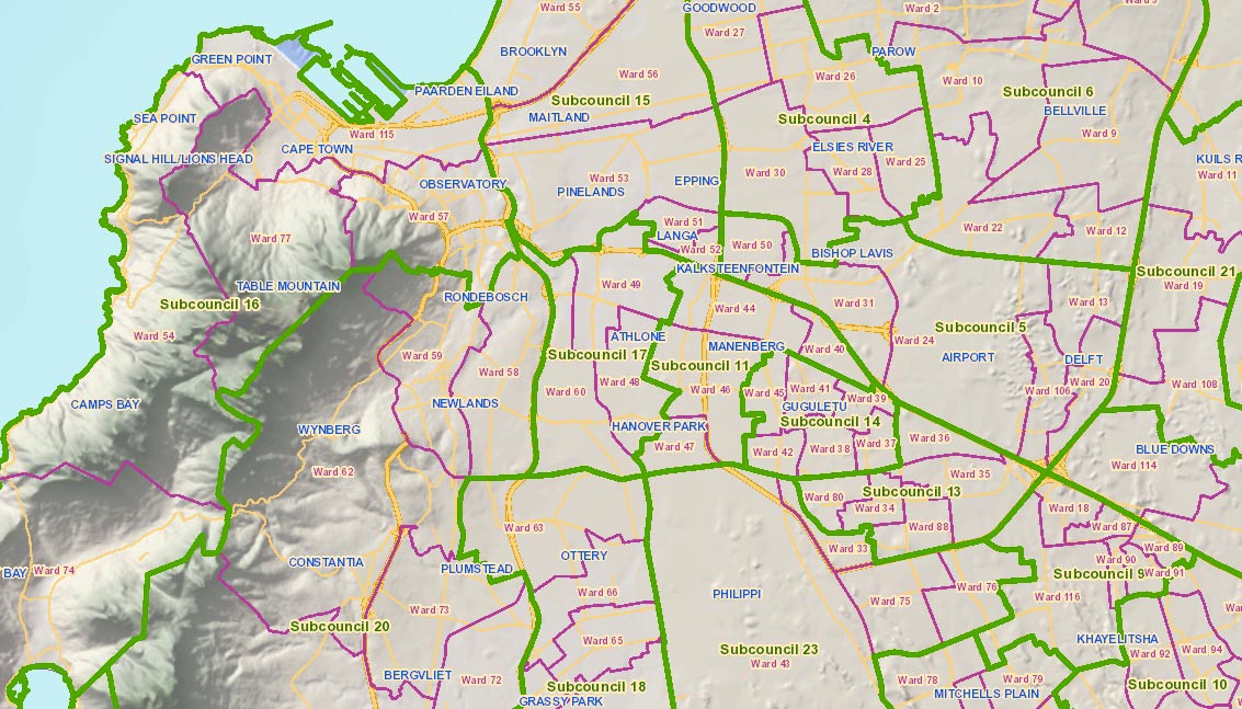
A geographic information system (GIS GIS Geographic information system: system designed to gather, store, process, analyse, manage and display all types of spatial and geographic data ) was then produced on the entire municipal area with a particular focus on coastal zones vulnerable to risk. New applications were developed to enhance this tool and, for example, optimise tax collection. Lastly, the local authority created an interactive public map that allows citizens to find the data relative to their neighbourhoods on the Internet and participate in formalising the administrative limits of the municipality.
In the long term, it is a question of improving the efficiency of decision-making in urban development.
https://citymaps.capetown.gov.za/EGISViewer/
Lessons learnt
- A clear political vision on the part of the local authority enabled the GIS GIS Geographic information system: system designed to gather, store, process, analyse, manage and display all types of spatial and geographic data to be set up in stages.
- The peer-learning Peer-learning Learning between peers, in this instance between local authorities. mechanism allowed the municipality to have at their disposal an initial already tested tool, that it subsequently enhanced with the complementary tools adapted to its needs.
 CITIIIS: City Investments to Innovate, Integrate and Sustain
 iTicket: automated transport ticket management
  An open data policy
  A working group for opening public data
  Urban Lab of “Paris and Co”: how a city guides and stimulates innovation on its own territory
  Hackathon Hack Jozi Challenge
  The national strategy of digital modernisation as a framework for the local authorities
 WeCyclers: selective precollection of waste
  Mi Muni en Casa: online municipal services
 Accra Mobile: innovative mapping of artisanal transportation
